

Real-Time GIS & Engineering Data Visualization Apps
Traditional GIS and CAD viewers are built for editing data, not for presenting it. XGameDev builds interactive, real-time applications on top of your existing GIS and engineering data, so terrain, infrastructure, and systems data becomes something stakeholders can explore, not just a static export.

Track Record
From Raw Data to an Interactive Application
We work with structural and geospatial data at scale, converting it into performant, interactive Unity applications rather than fixed reports or renders.
- Conversion of large-scale structural models into Unity
- GIS, GeoTIFF, and GeoJSON integration for terrain and infrastructure
- ArcGIS, Mapbox, and Google Maps integration inside Unity
- Simulations for systems testing and design validation
- Drone path-mapping and indoor navigation applications
What We Build
Geospatial Data Integration
GIS, GeoTIFF, GeoJSON, and mapping-platform data brought into a real-time 3D environment.
Terrain & Infrastructure Modelling
Large-scale terrain and structural models, optimized for interactive use rather than one fixed viewpoint.
Systems Testing Simulations
Simulations for validating designs or systems behavior before committing to a build or a physical test.
Related Work & Services
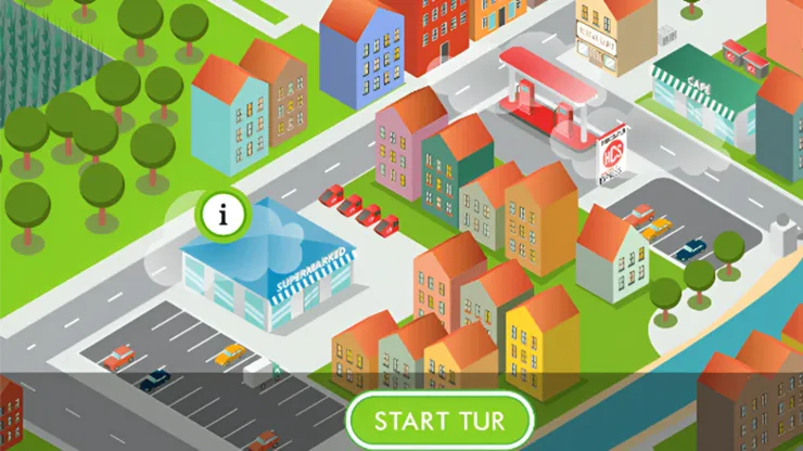
Food Bio Energy
An engineering/environmental simulation project built with real-time 3D.
Unity 3D Visualization for Architecture & Property
Interactive walkthroughs for architecture, property, and construction stakeholders.
Learn more →Full AEC Development Services
The full breakdown of our architecture, engineering, and construction workflow.
Learn more →What Clients Say
The pleasure was all ours. Thanks again we love our little game and it has been a huge hit.
Jacques is great. Very knowledgeable and professional. Will work with again.
Frequently Asked Questions
What data formats do you support?
GIS, GeoTIFF, GeoJSON, and large structural/terrain models, along with ArcGIS, Mapbox, and Google Maps integrations inside Unity.
Can this integrate with our existing GIS platform?
In most cases, yes. We work from your existing data exports and mapping platform rather than requiring you to migrate to a new system.
Is this for internal use or public-facing?
Both. We've built internal engineering and planning tools as well as public-facing visualization apps for stakeholder consultation.
Can it run offline or on-site without an internet connection?
Yes, native desktop or mobile builds can run fully offline where a project requires it; WebGL builds need a connection to load.
Have GIS or engineering data to visualize?
Tell us what data you're working with and what you want stakeholders to see.